
Frequently asked questions.
Is the creek on Council land as it passes the treatment plant?
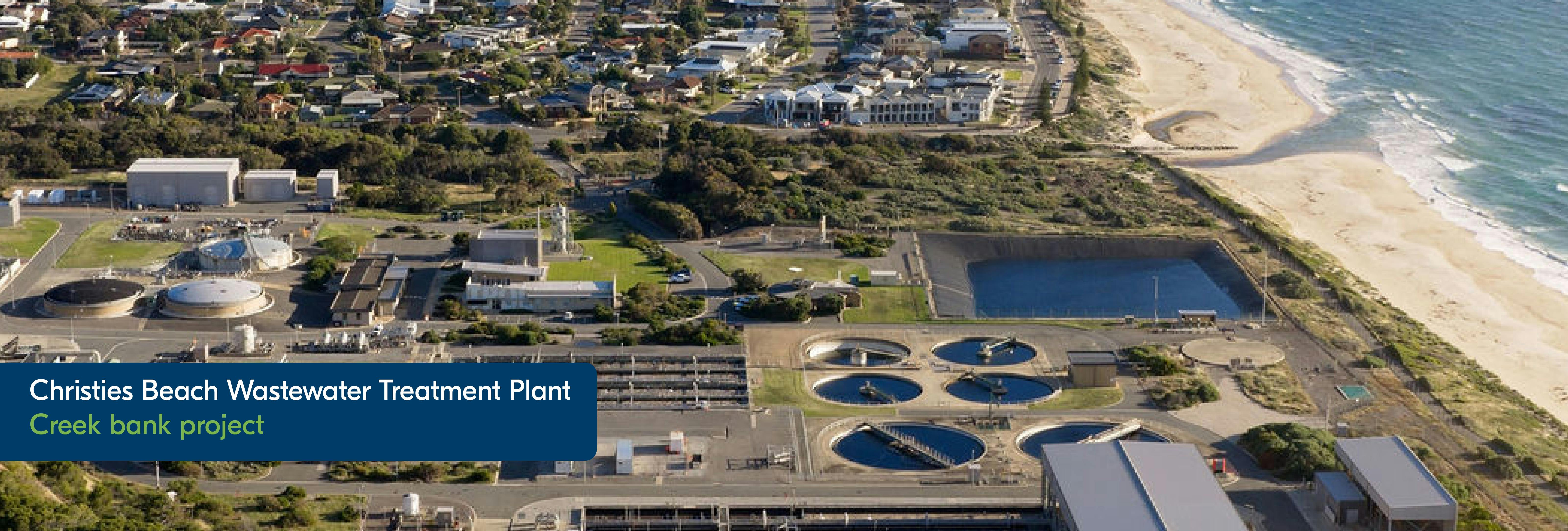
Christie Creek's last 170m meters runs inside SA Water's land. This land extends from the plant's southern fence, across the creek and up to Hunter Road.
Why has it taken so long to fix the erosion issues?
Working in a waterway is a complex exercise due to the sensitive environment. Any construction needs to be informed by water flow-modelling to ensure it is sustainably built and can endure unpredictable weather events. We want to get things right the first time.
Will access to the coastal path be restricted during works?
Site 3 will repair works will require us to close the coastal path at times during weekdays as this will be an active construction site with earth-moving machinery in use.
You will still be able to access the coastal path from the beach beyond the work site, and we will give you ample notice via VMS signs advising of any pending closures.
Are you going to cut down many trees?
We will need to undertake some minor understory pruning to make way for new vegetation that we will be planting in site 4. Some trees near erosion sites may need to be cut back to allow for machinery access and construction. We will be planting new native trees and shrubs which are endemic to the area along the northern and southern sides of the creek. These will provide erosion resistance for the creekbank and contribute to concealing the plant behind a wall of vegetation.
Will the path on the northern side of the creek be reopened eventually?
Currently, there are no plans to reopen the northern pathway as this will be an active construction site during the major erosion repairs. As there is an anticipated requirement to increase the plant's capacity by 2030 due to on-going development within the wastewater catchment zone, we may need to extend the security fence beyond its current alignment, and this may encroach into this area.
